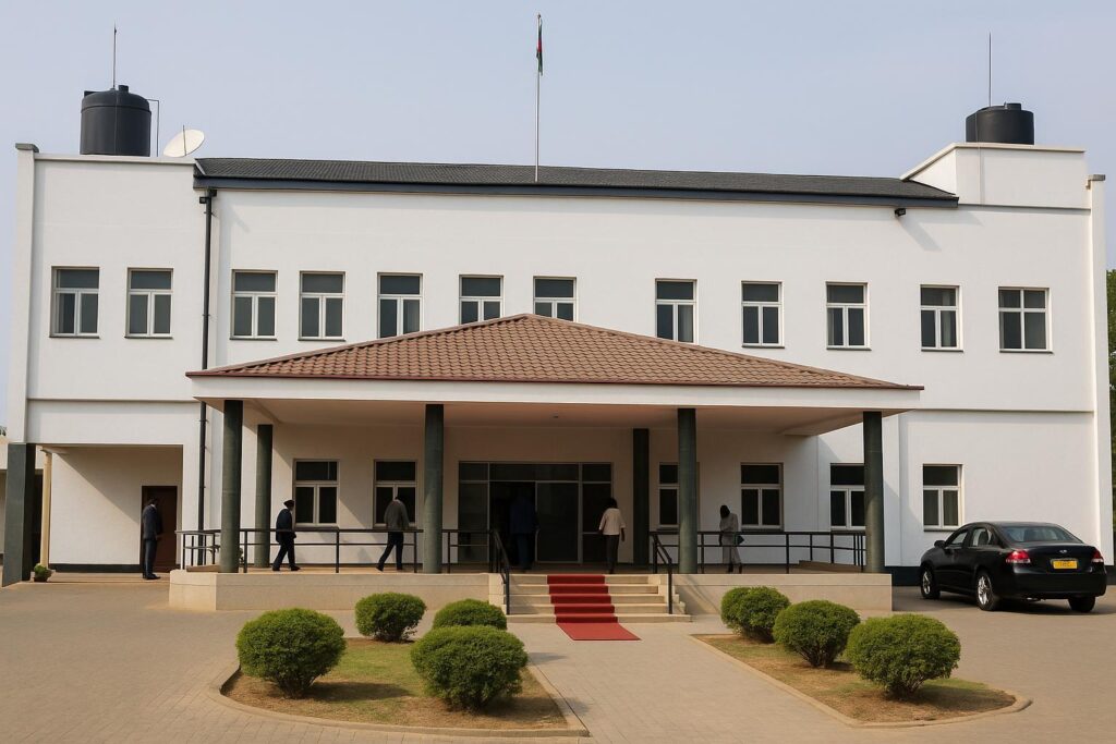
Historic Borders Anchor Sovereignty
The Transitional National Legislative Assembly has opened a spirited debate on how to lock South Sudan’s boundaries into the forthcoming permanent constitution.
Lawmaker Dr. Ghada James warned colleagues that without precise frontiers, sovereignty and investment confidence remain fragile in the world’s youngest nation.
Disputed Zones and Regional Ties
From Abyei to the Ilemi Triangle, overlapping claims with Sudan, Kenya, Ethiopia and Uganda still fuel local tensions and complicate trade corridors vital for East-African commerce.
Analysts note that border communities often share kinship networks; clear mapping could transform flashpoints into gateways for cross-border markets and cultural exchange.
Legislative Path to Demarcation
Citing Article 1 of the transitional charter, Dr. James urged adherence to Sudan’s 1956 map as the legal baseline, echoing precedents set by Uganda and Kenya.
Her motion tasks the Foreign Affairs and National Security committees to oversee survey missions, erect beacons and table a progress report within fourteen days.
Voices From Across the Aisle
SPLM-IO member Tereza Chol swiftly seconded the motion, calling the border question “extremely important for national cohesion and regional respect.”
Other MPs, including independent representatives from Yei and Malakal, signalled broad backing, arguing that demarcation can unlock pastoral routes and reduce armed patrol costs.
Next Steps and Regional Implications
If adopted, the plan would generate an official cartographic database, rectify the estimated 644,000-square-kilometre figure and support future oil, mineral and conservation projects.
Neighbouring capitals are watching. “A mutually recognised map helps everyone plan infrastructure and avert skirmishes,” a Nairobi-based diplomat told this magazine.


