Origins of the Boundary Question
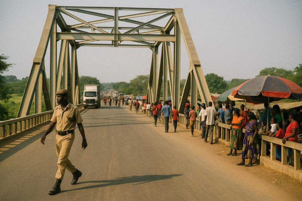
The forested ridge between Kajo-Keji and Ngomoromo has long blurred the frontier of South Sudan and Uganda, a colonial-era ambiguity that periodically sparks troop deployments, market closures and the flight of farming families.
Last week an International Conference on the Great Lakes Region verification team toured the flashpoints, gathering testimonies with a view to presenting de-escalation options at an upcoming heads-of-state summit.
The Scholar and His Map
During doctoral research at the American University of Abuja in 2012, South Sudanese historian Dr Charles Okeny Ben says he uncovered an original British survey map in a quiet UK library archive.
He argues the sheet pinpoints every beacon from the White Nile to Lake Turkana, eliminating the guesswork that has frustrated successive bilateral commissions.
Okeny insists he will release the document only after briefing Ugandan and South Sudanese envoys together in Nimule, citing a duty to explain its context before copies circulate and before he expands the study into a book.
Regional Stakes and Next Steps
Kajo-Keji county commissioner Wani Jackson Mule welcomed the ICGLR visit, expressing hope that a binding roadmap can entice displaced cultivators back before the next planting season.
Security analysts note that a clarified frontier would secure the vital Juba–Nimule–Gulu trade corridor, reduce cross-border cattle rustling and foster joint conservation projects in the surrounding savannah.
Regional diplomats say the map, if authenticated, aligns with the African Union principle that borders remain as they stood at independence, potentially offering a peaceful template for other continental disputes.


